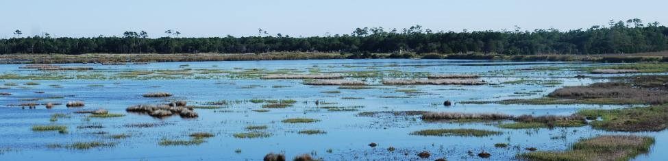
Wetland Mapping and Modeling
Mapping wetlands has become a cornerstone of CMI work for the past several years. We have been working with the US Fish and Wildlife Service’s (FWS) National Wetlands Inventory (NWI) for much of that time updating wetlands maps throughout the eastern and Gulf states. During that time we worked cooperatively with NWI coordinators to implement hydrogeomorphic modeling components that enhance the traditional NWI data. We also assisted with identification of restorable wetlands and analysis of change.