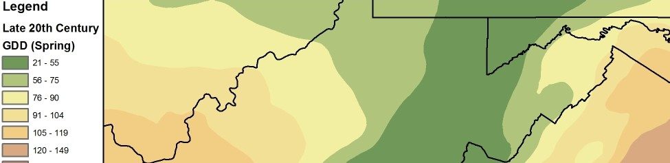
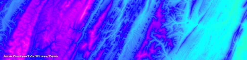
Geospatial
Our geospatial projects have run the gamut from traditional mapping to complex, spatially-explicit decision support systems. Much of our current project work involves mapping features from digital aerial photography, analyzing Lidar for measuring vegetation and wetland characteristics, modeling species and their habitats, and developing UAV applications for natural resource management.